
Global warming could repeat past instances of heavy floods in Ladakh, calls for serious planning, warns study
Date:- 17 Jun 2021
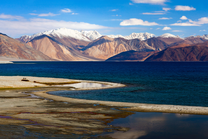
Studies have revealed that the cold desert of Ladakh in the Himalayas once experienced heavy floods that rose much above the present-day river level. This implies that in the scenario of global warming, when the higher Himalayan regions are expected to respond dramatically, the frequency of floods in Ladakh may increase, calling for serious urban and rural planning.
Large floods that naturally occur in major rivers of India fed by melting snow and glaciers and a continental scale precipitation regime of the Indian Summer Monsoon (ISM) as well as the Westerlies and East Asian Summer Monsoon (EASM) significantly modify the landscape and impact lives and economy in its geomorphic domain.
These floods are of various types and origin such as glacial or landslide lake outbursts, cloudbursts and excessively strong monsoon. These have different forcing factors and frequencies and therefore add large uncertainty in flood prediction models.
An instrumental record of these floods is of approximately 100 years, which is not enough to understand the natural ramp of flood occurrences in the Himalayas and therefore data going deep into time is required.
A team of students and scientists from the Wadia Institute of Himalayan Geology at Dehradun, travelled through the tough terrain along the Zanskar and Indus rivers and looked minutely into geological signatures of past floods in Ladakh region that date between 3,000 to 15,000 years ago. Their findings have been recently published in the Geological Society of America Bulletin, according to a statement issued today by the Ministry of Science and Technology.
Flood leaves a stack of fine sand and silts, called Slack Water Deposits (SWDs), at places along its channel where the flood energy drastically reduces. The SWDs were located at several locations along the Zanskar and Indus rivers, counted vertically for the number of floods and were dated using a technology called Optically Stimulated Luminescence (OSL) and Accelerator Mass Spectrometry. The flood deposits were also analysed for their source.
This analysis showed that the cold desert once experienced a large flood that rose to more than 30 meters above the present-day river level. The active flood plains nearer to the river were also utilised by humans, possibly as camping sites and for cooking, as indicated by presence of hearths at several locations and levels of flood deposits.
The chronology of the flood deposits pointed towards three phases of increased flooding that occurred in Ladakh after the period called Last Glacial Maximum. These phases were between 14,000 years-11,000, 10,000-8,000 years and 7,000-4,000 years ago.
These were times when due to warming, the Indian summer monsoon was active in Ladakh as well. The results also suggest that Ladakh floods are chronologically out-of-phase with those occurring in the north-eastern Himalayas and mainland China during the past 15,000 years. This implies that the modern relationship between the ISM and EASM goes back more than 14,000 years.
The preliminary study of hearths suggested that there was an inbound migration of people along the mountain corridors of Ladakh after the Last Glacial Maximum when temperatures were relatively warmer and hydrology of the region was supporting.
Courtesy: The Tribune: 16th June, 2021